Lisnaskea and the Upper Erne country
Lisnaskea is an inland market town in County Fermanagh, close to the intricate waterways of Upper Lough Erne. It is not a waterside marina settlement, and that distinction is important for planning: a boat based on the Upper Erne may be some distance from the town centre, with access and services varying by landing place. The navigation is managed by Waterways Ireland and crosses the Northern Ireland–Republic of Ireland border farther south. Use official notices and charts for route status. For an Upper Erne boat, a precise bespoke cover protects against long periods of damp island and lake exposure.
Market-town access to a scattered lake
Lisnaskea's historic role as a market centre makes it a useful shore-side destination for provisions and local history, but the waterway itself is dispersed. Upper Lough Erne divides into bays and channels around numerous islands, so the nearest landing is not necessarily the nearest road. Plan the walk ashore, carry essential supplies aboard and avoid describing a town service as a waterside facility unless it is confirmed for the exact berth. This is the practical difference between cruising through a lake district and stopping in a canal town.
The Upper Lough Erne landscape
The upper lake is characterised by small islands, peninsulas, quiet inlets and winding passages rather than broad, uninterrupted horizons. That variety makes navigation engaging, but it can obscure the most comfortable route in poor visibility. A chartplotter should be backed by paper or independent route information, and a lookout remains essential near shore and at channel entrances. Keep speed appropriate to visibility and wash. Waterways Ireland's current information takes precedence over old cruising notes, especially after works or changes to facilities.
The Shannon-Erne connection
The Upper Erne connects southward with the Shannon-Erne Waterway, an active inland navigation linking the Erne system with the Shannon. The connection is a managed navigation with locks and controlled infrastructure, not simply a natural river shortcut. Boat owners planning a through trip should check opening arrangements, waterway notices and the requirements for operating the lock system. The cross-border character of the route also deserves attention: carry the documents and insurance information appropriate to the jurisdictions through which the voyage passes.
Weather between island and shore
Sheltered coves can give a misleading impression of conditions outside them. Wind over open stretches produces short waves, while rain can reduce visibility against dark wooded shorelines. Covers should be tensioned so they do not rub on rails when the boat swings at a mooring. Wet canvas should be aired before long-term refitting, and cockpit drains must remain clear. These are simple maintenance habits, but they matter more on a scattered lake where a shore-side repair is not always close.
Lisnaskea's historic setting
Lisnaskea developed around a medieval and later market tradition, and the town's built heritage gives a land-based journey a different rhythm from an island cruise. The area is associated with the Maguire lordship and the wider Fermanagh landscape, although individual sites have their own access arrangements. Treat heritage visits as planned excursions rather than assuming a boat can land beside every attraction. A light, removable cover is helpful when the crew alternates between helm, landing and walking days.
Choosing a cover for an Upper Erne boat
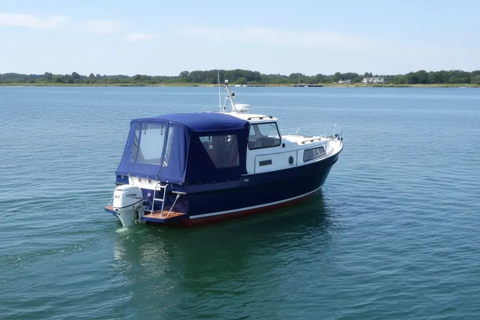
An acrylic canopy suits many boats left under cover in a humid inland climate because it can breathe as well as shed rain. PVC-style waterproof fabric may be appropriate for particular cockpit layouts, but ventilation is essential to reduce condensation. Reinforce corners and fasteners where the cover is handled frequently. A well-shaped cover should keep water away from seating without blocking navigation lights or helm visibility. The materials guide explains the trade-off between waterproofing and breathability without pretending that one fabric suits every boat.
A sensible cruising base
Lisnaskea works best as a land reference for Upper Erne planning, not as a substitute for a confirmed berth or facility. Before departure, identify the actual landing, water point and overnight arrangement; then check weather and navigation notices. The reward is a richly varied lake journey in which the boat moves through narrow channels, open water and island-studded scenery. Send an existing cover through our postal copy service when a replacement is needed, and keep the new pattern faithful to the boat's real fittings rather than a generic model.
Islands require a slower plan
Upper Erne passages can involve more turns and visual decisions than a straight canal mile. Mark the intended stopping places, allow for a slow approach to unfamiliar banks and keep an alternative anchorage or return route in mind where permitted. A phone signal or electronic chart should never be the only contingency. Before leaving the boat, close vents as appropriate, secure the helm and check that rainwater can run off the cover. Lisnaskea is a useful landward reference for this careful, exploratory style of cruising.
Final checks before a trip
Plan the actual berth, not only the destination name, and check the latest official navigation notice before moving. Weather, access and waterway status can change independently. Keep the cover dry when stowed, protect its fasteners from unnecessary strain and inspect it after every exposed passage. These habits are straightforward but valuable on a route where active navigation sits alongside historic infrastructure, tidal transitions or cross-border administration. A careful skipper can enjoy the character of the settlement without making assumptions about facilities or navigability.