Poyntzpass and the Newry Canal corridor
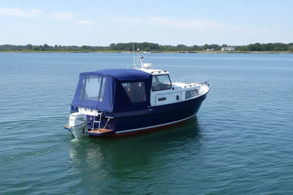
Poyntzpass is a settlement in County Armagh close to the historic Newry Canal and the route linking Newry with the summit and Lough Neagh. Its name reflects a passage through the landscape, while the canal corridor nearby records a different kind of movement: barges, locks and towpath traffic. The waterway is primarily a heritage landscape in this area unless the responsible authority states otherwise. Confirm navigation status before carrying a boat to the canal. For craft kept in the district, a carefully fitted boat canopy helps with persistent rain and towpath-side debris.
A transport landscape rather than a marina stop
Poyntzpass is a useful road and rail reference, but its proximity to the canal does not guarantee a berth, launch point or chandlery. Plan the last part of any visit on foot or by road and verify access rights. Historic canal alignments can run through private land or beside paths with limited vehicle access. This practical distinction is more useful than assigning the village facilities it may not have. Boat owners should carry the equipment needed for a self-sufficient heritage visit.
How the old canal worked
The Newry Canal linked Newry and Lough Neagh and used a summit-level route, an important achievement in Irish canal engineering. Its operation depended on reservoirs, locks and reliable water supply. Around Poyntzpass, the towpath and surviving structures help explain how horses hauled cargo through a rural setting. They do not, on their own, prove that a lock is serviceable or that a boat may pass. Read the landscape as evidence of former navigation and consult current notices for present navigation.
The village and its connections
Poyntzpass sits in a border-region landscape where County Armagh meets the wider Newry and south Down area. Rail and road connections make it a sensible base for exploring canal history without claiming that the village is waterfront infrastructure. A boat owner visiting from an active waterway can use the trip to inspect engineering, towpath alignments and nearby settlements. Keep the itinerary flexible: weather, access restrictions and restoration works may change what can be reached on foot.
Distinguishing active from historic water
The Newry Canal story includes sections valued for restoration, conservation and recreation, as well as structures that are not open to through navigation. Use a current authority source to establish the exact operational reach. This matters for insurance, pilotage and expectations about depth. A historic-only stretch can still be a superb place to walk, photograph and understand the industrial past, but describing it as cruisable would mislead owners. The distinction is central to any responsible Poyntzpass guide.
Damp, wind and leaf fall
Boats moored near rural hedges encounter wind-driven rain, falling leaves and organic debris. Covers should shed water rather than form pools, with ventilation to limit condensation. Reinforce points that receive repeated tension, especially around rails and corners. Dry wet lines and inspect the cover after storms. These small measures protect upholstery and timber while reducing premature fabric wear. The local climate is ordinary for Ireland, but a boat left unattended gives every small defect time to become a larger one.
Selecting a practical cover
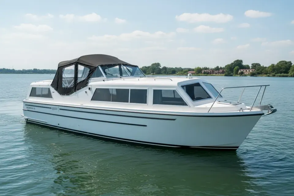
A boat used frequently may benefit from a light tonneau or folding pram hood; a craft left for longer periods may need broader cockpit protection. The correct pattern must allow access to cleats, vents and navigation equipment. Our postal copy service can work from an existing cover, preserving the boat's actual shape instead of relying on a generic Poyntzpass profile. Owners comparing fabrics can consult boat cover materials before deciding between breathability and maximum water resistance.
A thoughtful canal visit
Use Poyntzpass as a gateway to the Newry Canal's history, not as evidence of a continuous modern navigation. Verify the route, access and current restoration position, then combine a towpath walk with confirmed cruising elsewhere. The reward is a quieter understanding of how summit canals shaped transport across Ireland. For boat owners, the lesson is practical: keep the vessel protected, keep the itinerary honest and let current official information—not an old map—decide where the boat can go.
Linking rail, road and water history
Poyntzpass is especially useful for understanding how transport networks overlapped. The railway, roads, village and canal each carried people or goods in different periods, although they do not provide one continuous modern boating facility. A visitor can make a satisfying day by checking the canal alignment on foot and returning to the village without attempting an unauthorised launch. For owners, this is a reminder to separate access logistics from navigation rights. Record the historic features you see, then verify the current waterway status before writing a cruise plan.
Final checks before a trip
Plan the actual berth, not only the destination name, and check the latest official navigation notice before moving. Weather, access and waterway status can change independently. Keep the cover dry when stowed, protect its fasteners from unnecessary strain and inspect it after every exposed passage. These habits are straightforward but valuable on a route where active navigation sits alongside historic infrastructure, tidal transitions or cross-border administration. A careful skipper can enjoy the character of the settlement without making assumptions about facilities or navigability.