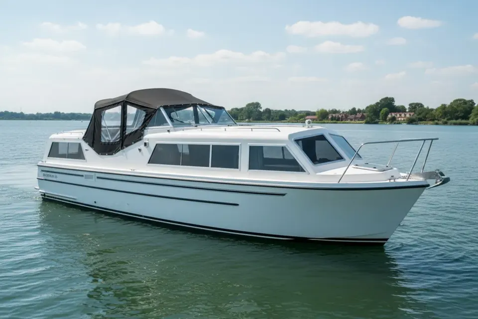
Toomebridge at the Lower Bann
Toomebridge is the northern outlet of Lough Neagh and a key point on the Lower Bann navigation. The River Bann leaves the lake here and continues north through the managed inland route toward Portglenone and Coleraine. That junction gives Toomebridge unusual boating importance, but it also demands accurate language: a lake outlet, lock or weir is operational infrastructure, not an invitation to pass without checking notices. Waterways Ireland information should be consulted before departure. A practical boat cover protects vessels facing open-lake wind and river-side damp.
The Lough Neagh outlet
Toomebridge marks the transition from the very large open water of Lough Neagh to the river corridor of the Lower Bann. Wind on the lake can produce conditions very different from those around the bridge, and a forecast must be read for both areas. Allow extra time for a safe approach, keep a lookout and avoid committing to a crossing when conditions are deteriorating. A small boat's comfort and control matter more than completing a planned distance.
Weir, lock and managed passage
The outlet includes engineered control works associated with regulating and navigating the Bann. Current arrangements, operating instructions and any restrictions must be obtained from the responsible authority. Never infer lock availability from an old cruising book or a photograph. Prepare lines and fenders, secure loose canvas and keep crew positions clear. Covers with quick fasteners are particularly helpful when a boat alternates between lake exposure and lock operation.
The Lower Bann northward
From Toomebridge, the river runs through a changing mixture of agricultural land, wetlands, woodland and settlements before reaching Coleraine. Portglenone is one of the recognised riverside places along the route. The waterway is active in its managed sections, but its downstream end approaches tidal and estuarine conditions. Plan the journey in stages and confirm every overnight landing. A through route on a map does not remove the need for current depth, works and navigation information.
Wetland weather and visibility
The open lake and low-lying Bann valley can bring strong winds, rain and sudden visibility changes. Dark water, reeds and low banks make it important to maintain a proper lookout rather than rely solely on electronics. A cover should shed rain without creating a blind spot from the helm. Ventilation reduces condensation when the boat is closed after a wet lock passage. Inspect seams, straps and rubbing points after each exposed crossing, not only at the end of the season.
Toomebridge as a local landmark
The bridge and outlet are the defining features of the settlement, while the surrounding wetlands support a distinct landscape and wildlife interest. Shore visits should use confirmed public access and avoid disturbing sensitive margins. Do not describe every bank as a landing or mooring. For boat owners, a short stop can be useful for checking the vessel, reviewing the next navigation notice and waiting for a safer lake forecast. Good route planning includes the option to pause.
Cover specifications for mixed water
A boat travelling between Lough Neagh and the Bann needs a cover suited to both open exposure and repeated handling. Acrylic provides useful breathability for damp inland conditions; heavier waterproof material may suit a cockpit that takes direct rain, provided air can circulate. Tonneau, pram and full canopy designs each have different access implications. The boat-cover material guide helps compare them. For an exact replacement, use the postal copy service rather than guessing from nominal boat length.
Decide the next leg carefully
At Toomebridge, confirm the route status, weather on Lough Neagh and conditions downstream before casting off. If continuing toward Coleraine and the estuary, obtain separate tidal and coastal information; the inland navigation and tidal reach are not interchangeable. Toomebridge deserves its reputation as a gateway because it joins major waters, not because it removes the risks between them. Secure the boat, respect the controlled infrastructure and let official information set the pace of the Lower Bann journey.
A gateway needs a fallback
Toomebridge is an excellent place to decide whether the next move is onto open Lough Neagh or downstream on the Bann. Keep a fallback plan for both directions: a safe return, a delayed start or a shore-based wait. Check the lake forecast at the point of departure because conditions can differ markedly from the village. Once the boat is secured, use the pause to air the cabin and inspect the canopy. Good preparation at this gateway makes the Lower Bann feel varied and manageable rather than rushed.
Final checks before a trip
Plan the actual berth, not only the destination name, and check the latest official navigation notice before moving. Weather, access and waterway status can change independently. Keep the cover dry when stowed, protect its fasteners from unnecessary strain and inspect it after every exposed passage. These habits are straightforward but valuable on a route where active navigation sits alongside historic infrastructure, tidal transitions or cross-border administration. A careful skipper can enjoy the character of the settlement without making assumptions about facilities or navigability.