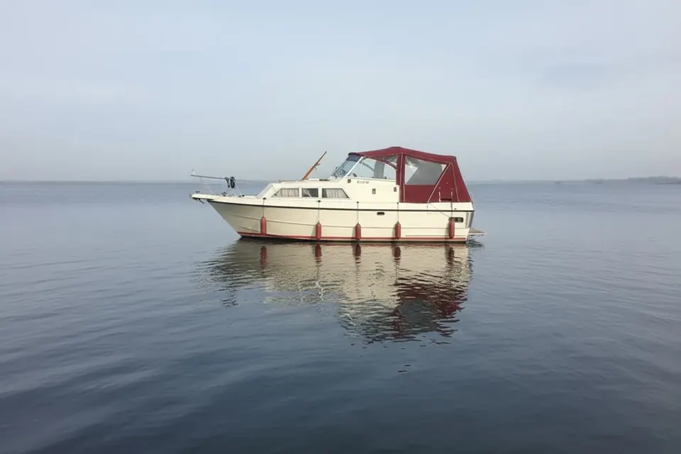
Coleraine on the Lower Bann
Coleraine is the downstream gateway of the Lower Bann navigation, where the river approaches Lough Foyle and the sea. It is a place of changing conditions: the inland route from Lough Neagh meets an estuarine and coastal environment below the town. Boat owners must distinguish the navigable river from tidal water and check current notices, local restrictions and weather before continuing downstream. Waterways Ireland provides navigation information for its remit. A robust boat cover helps protect craft exposed to rain, wind and spray near the river mouth.
From Lough Neagh to the coast
The Lower Bann runs north from Lough Neagh through towns and rural reaches before reaching Coleraine. The river is navigable in managed sections, with locks and weirs shaping the passage. Downstream of Coleraine, conditions become estuarine and should be treated as a separate tidal and coastal planning problem. Do not carry inland assumptions into that section. Tide times, currents, charted hazards and the responsible harbour or maritime authority must be checked independently.
Coleraine's bridge and river setting
The town grew around a strategic crossing of the Bann, and the river remains its defining physical feature. Bridges, banks and urban traffic require a proper lookout, particularly when wind or rain reduces visibility. A familiar landmark is not a substitute for depth information or a current chart. Confirm where a boat may moor; public river frontage does not automatically mean overnight berthing. Keep covers clear of navigation lights, lines and access points.
The tidal boundary matters
Coleraine's position makes the tidal distinction central to any itinerary. A boat turning upstream remains in a different operational world from one heading toward the estuary. Before attempting the lower reach, obtain current tidal predictions, local guidance and suitable safety equipment. Consider wind against tide, visibility and the boat's freeboard. If the passage is beyond the crew's experience, stopping at a confirmed inland limit is sound seamanship. A historic or scenic route is not automatically a suitable leisure passage.
The Causeway Coast nearby
The wider area offers access to the Causeway Coast, including the Giant's Causeway, but these are shore destinations rather than promises of a waterside landing. Plan transport and walking separately from navigation. Coastal weather can differ from conditions on the river, and a forecast should cover the whole planned journey. After an excursion, check spray, grit and salt contamination on fittings even if the boat has not entered open sea. Rinse and dry equipment before covering it again.
Lower Bann weather and current
Wind funnels along open river reaches, while rainfall can alter river levels and flow. Near weirs and lock approaches, keep speed controlled and follow signs and authority instructions. Covers should resist flapping but allow ventilation, since damp air and wet clothing quickly create condensation in a closed cockpit. Reinforce high-load corners and use fasteners suitable for repeated removal. Local exposure, not an assumed average climate, should determine the specification.
Cover choices near the estuary
A cruiser operating only inland may favour a breathable acrylic canopy; a vessel occasionally exposed to spray may need more comprehensive waterproof protection with carefully designed ventilation. A tonneau can keep an open cockpit dry between short visits, while a full canopy offers better shelter for longer stays. Our postal copy service reproduces an existing cover's actual geometry, useful when rails and screens differ from a standard model. See the fabric guide for the trade-offs.
A responsible Coleraine itinerary
Use Coleraine as a decision point. Verify the inland navigation status, identify the exact tidal limit and obtain separate coastal information before going downstream. Never describe the Lower Bann and its estuary as one uniform waterway. The town rewards careful planning because it brings together river history, bridge navigation and access to a dramatic coast. Protect the boat between passages, keep official notices aboard and let conditions—not an attractive map line—decide the final distance.
Where an inland plan ends
Many Lower Bann trips quite properly finish before the tidal water. That is not a failure or an incomplete journey; it is a recognition that inland cruising and estuary passage require different preparation. Use the stop to inspect the hull, dry lines and review the return route. If going onward, obtain local guidance rather than treating the estuary as a scenic extension of the river. Coleraine is valuable as a boundary in the practical sense: it encourages boaters to make a clear decision and record it.
Final checks before a trip
Plan the actual berth, not only the destination name, and check the latest official navigation notice before moving. Weather, access and waterway status can change independently. Keep the cover dry when stowed, protect its fasteners from unnecessary strain and inspect it after every exposed passage. These habits are straightforward but valuable on a route where active navigation sits alongside historic infrastructure, tidal transitions or cross-border administration. A careful skipper can enjoy the character of the settlement without making assumptions about facilities or navigability.