Newry and the Newry Canal
Newry is the eastern gateway to the Newry Canal, a historic waterway linking the port town with the summit level and the wider inland route toward the Bann basin. It is a place where active navigation, restoration and industrial history must be kept separate. Parts of the canal and its structures are valued heritage, but a historic towpath or restored basin is not automatically an open cruising channel. Check the current position with the relevant navigation authority before moving a boat. A neat boat cover protects craft kept beside a town with exposed urban and canal-side weather.
The first canal in context
The Newry Canal was built in the eighteenth century to connect Newry with Lough Neagh, making it one of Ireland's earliest summit-level canals. Its locks, bridges and reservoirs reflect an ambitious industrial route, while Newry's port connected the canal story with maritime trade. Today the surviving structures are best read as a heritage landscape unless official information confirms navigable operation. This distinction avoids the common mistake of using historic mileage as a promise of present-day passage.
Newry Basin and the urban edge
Newry Basin is the canal's most recognisable town-side space and a useful starting point for understanding the route. Urban water can look calm while presenting shallow margins, restricted turning room or access rules. Do not assume that a regenerated public space is a visitor berth. Confirm mooring permission, depth and any event or works restrictions before bringing a boat alongside. Covers should be easy to remove for inspection and shore access, particularly where a vessel is visited rather than lived aboard.
Towpath, structures and interpretation
The canal corridor offers a strong walking experience, with surviving masonry, bridges and the linear towpath revealing how horse-drawn transport operated. A towpath visit is not evidence that every lock chamber is operational. Historic-only stretches need to be described honestly: they can be valuable for walking, archaeology and local history while remaining unavailable to navigation. For owners, this is also a reminder to distinguish a planned cruise from a heritage itinerary by road and foot.
Toward the summit level
The route east and south from Newry crosses the canal's summit landscape before descending toward the Lough Neagh drainage basin. Lock flights and water-management works were central to the original operation. Current passage, if available on any section, depends on maintained infrastructure and published restrictions, not on the existence of a navigable-looking channel. Review the latest notices, allow for portage or turning constraints, and never rely on an old guide that predates restoration decisions.
Weather in an exposed canal town
Newry's lowland climate brings rain, wind and damp air rather than the open-lake wave conditions found on the Erne. Trees beside the towpath can drop leaves and small branches onto a cover, while urban moorings may expose a boat to wind funnelling along the cut. A breathable fabric, good drainage and reinforced tie-down points are sensible. Inspect the underside after wet weather: trapped condensation can damage cushions and fittings even when the outside looks dry.
Cover planning for historic waters
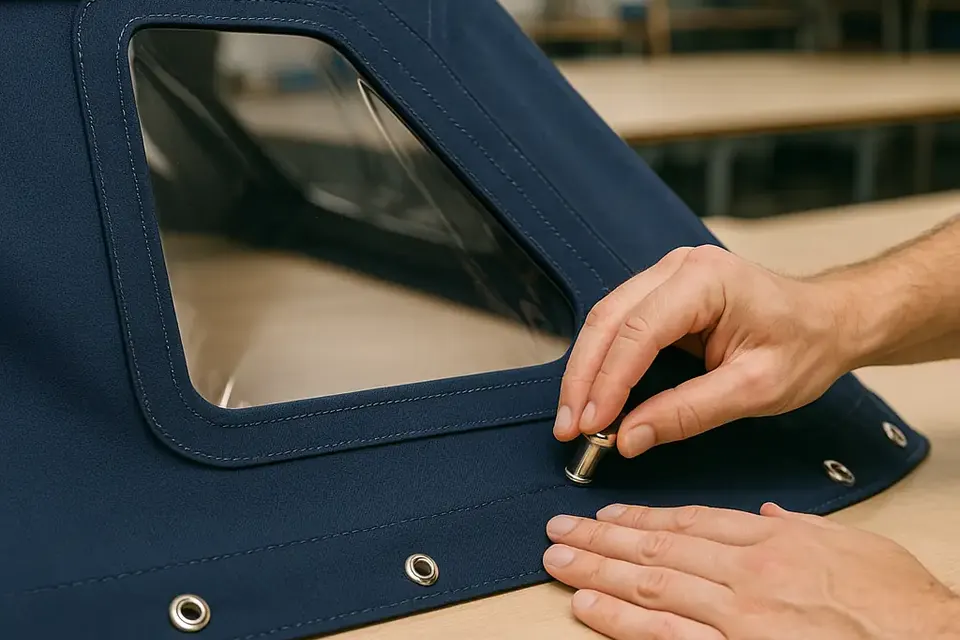
Owners of traditional narrowboats and small cruisers often need a cover that protects a boat during periods of limited movement but can be folded away for heritage events or inspections. Cratch, tonneau and cockpit designs each solve a different problem; the boat's actual rails, roof profile and fastening points determine the pattern. Our postal copy service uses an existing cover as a template, useful when the vessel cannot conveniently be transported to a workshop.
A responsible Newry itinerary
Use Newry to explore the canal's engineering and the town's port history, but establish the operational status of every intended section first. Link a canal walk with a confirmed boating leg rather than promising a continuous cruise where restoration remains incomplete. The canal cover materials guide can help select fabric for a boat spending more time moored than under way. In Newry, good seamanship includes historical accuracy: respect the route that existed, and describe clearly the water that can actually be navigated now.
Reading the port legacy
Newry's relationship with the canal is inseparable from its port, warehouse and market history. That context helps explain why the route survives as a connected set of structures even where modern navigation is limited. Walk the alignment, look for changes in level and consider how water had to be supplied to the summit. For boat owners, the historical reading is valuable precisely because it prevents overconfident route claims. A canal can be nationally important, beautifully restored in places and still require a road-based visit rather than a through cruise.
Final checks before a trip
Plan the actual berth, not only the destination name, and check the latest official navigation notice before moving. Weather, access and waterway status can change independently. Keep the cover dry when stowed, protect its fasteners from unnecessary strain and inspect it after every exposed passage. These habits are straightforward but valuable on a route where active navigation sits alongside historic infrastructure, tidal transitions or cross-border administration. A careful skipper can enjoy the character of the settlement without making assumptions about facilities or navigability.