Surfleet and the River Glen: a sluice-side navigation
Surfleet is the most important settlement for understanding where the River Glen meets the River Welland. The Environment Agency says the Glen rises on the Lincolnshire Limestone Ridge, travels for 12 miles through the Fens and meets the Welland at Surfleet Seas End. The Inland Waterways Association describes the navigable Glen as extending from that junction upstream to Tongue End, where it meets the formerly navigable Bourne Eau. This is an active but specialised navigation, not a generic canal branch.
Surfleet Seas End is the key junction
At Surfleet Seas End, Surfleet Sluice connects the River Glen to the Welland. It is one of two locks on the Welland and Glen system and is staffed by the Environment Agency; boaters must not operate it themselves. The authority asks boaters to call the river inspector before arrival and to use the navigation key and barrier arrangements where applicable. Confirm current instructions before setting off, because a sluice-managed junction cannot be treated like an unattended rural pound.
The Glen above the sluice is freshwater navigation. Beyond the junction, the Welland becomes tidal farther downstream, and the Environment Agency says that only experienced sailors and boaters should pass through the sluice and into the Wash. A local cruise from Surfleet should not be advertised as an effortless route into open water.
A 12-mile fenland river
The Glen’s course through the Fens is defined by drainage, flat horizons and engineered water levels. Its navigable length is commonly described by the IWA as about 11.5 miles, while the Environment Agency gives the river’s journey through the Fens as 12 miles. The small difference reflects rounding, not two separate waterways. Either figure signals a modest inland navigation where bridge clearance, rainfall and operating notices deserve attention.
The river is not a heritage-only waterway. Its active navigation reaches upstream from Surfleet Seas End to Tongue End. At the same time, the Bourne Eau beyond Tongue End is described as formerly navigable, so it must not be presented as an available continuation without authoritative confirmation of any current restoration or access.
Surfleet’s bridges and the low-air-draught question
The Environment Agency publishes approximate headways for the system. Surfleet Iron Bridge is listed at about 1.8 metres above standard water level, one of the lower figures in the table. River levels fluctuate after rainfall, and the published measurement is not a promise of clearance on the day. A boat with a raised canopy, antenna or folded cover hardware needs its real air draught assessed before approaching.
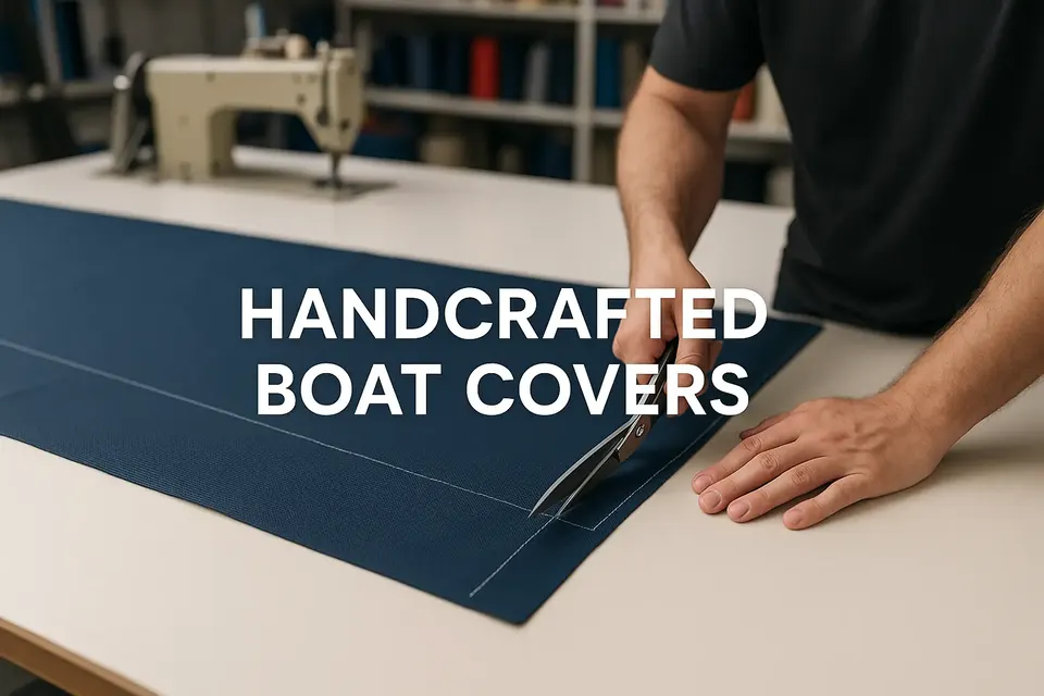
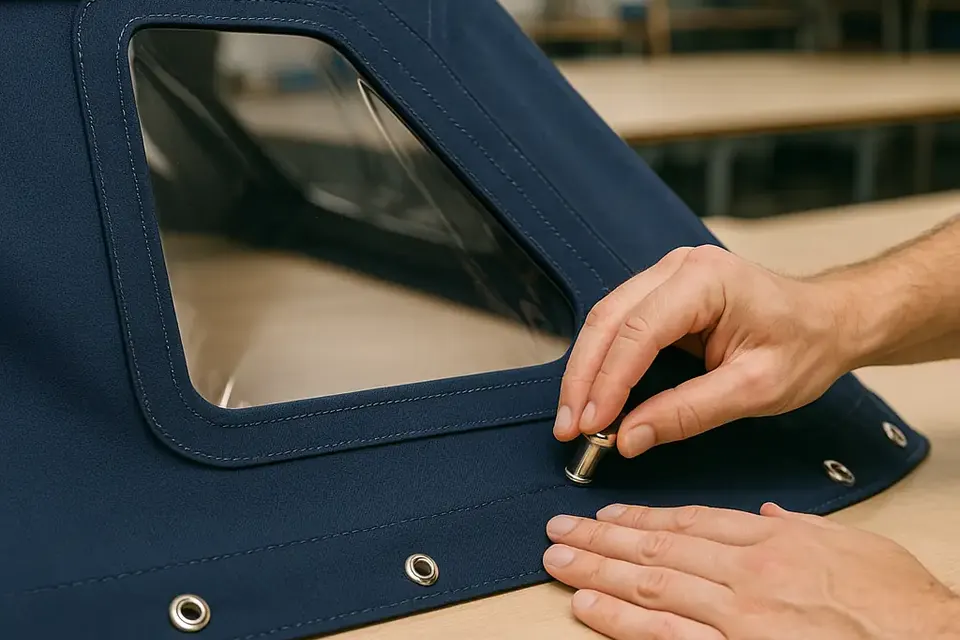
For owners, this makes a folding arrangement more than a comfort feature. A pram hood or cockpit canopy should stow securely and leave a clean profile when lowered. Do not leave poles, straps or loose fabric where they can catch on a bridge or obstruct the helmsman. Our custom cover service can work around the boat’s actual frame and lowering requirements.
The 7 mph rule and shared water
The Environment Agency gives a general speed limit of 7 miles per hour on the Welland and Glen. On a narrow Fenland reach, speed also needs to reflect wash, bank condition, moored craft and the approach to structures. A boat owner should be able to slow early rather than rely on a last-second manoeuvre at the sluice or bridge.
River use at Surfleet combines navigation with flood and land drainage functions. That means a quiet-looking bank is not automatically a landing stage, and a barrier or control structure is not a convenient turning point. Follow signs, notices and staff instructions. Keep a cover out of the way whenever the crew needs to handle ropes, fenders or the engine controls.
Toward Tongue End, not automatically Bourne Eau
Tongue End is the upstream limit identified by the IWA for the navigable Glen and the junction with the formerly navigable Bourne Eau. Historic navigation and active navigation must be separated. A map may show a watercourse continuing, but that does not establish a maintained, lawful or passable boating route. Check current authority information before considering anything beyond the recognised navigation.
That distinction is particularly valuable to owners planning a one-way trip. Turning back, bridge headroom and any limitations on length or draft should be considered before entering a narrower reach. The absence of a dramatic lock flight does not mean the passage is consequence-free.
Covers in wet fenland weather
A Surfleet-based boat encounters rain, wind, leaf debris and condensation. A waterproof cover needs a slope that sheds water and attachment points that resist flapping. A breathable marine canvas can reduce trapped moisture, while a coated textile may be preferred where maximum water exclusion is the priority. The correct choice depends on how often the boat is used and how exposed its berth is; our fabric guide explains the difference.
If a cover is repeatedly removed for bridge or sluice work, robust zips and reinforced corners matter. If the boat remains moored for long periods, ventilation and UV resistance become equally important. A precisely copied replacement can preserve a proven pattern; our postal copy service is intended for that situation, subject to the old cover being a usable template.
Planning a responsible Surfleet visit
Contact the Environment Agency in advance, check current notices and understand the navigation-key and barrier arrangements. Treat Surfleet Sluice as staffed infrastructure and the Welland below it as a route with tidal consequences. Measure air draught against current water conditions, respect the 7 mph limit and distinguish the active Glen from the historic Bourne Eau.
Surfleet’s value lies in that combination of living navigation and fenland engineering. A good local guide should not promise unverified amenities or blur the line between river and Wash. It should help an owner arrive with a manageable cover, a realistic itinerary and enough respect for levels, sluices and tide to enjoy the Glen safely.