Spalding on the Welland: freshwater, tide and fenland passage planning
Spalding is the principal town to consider when discussing the navigable River Welland in South Holland. The river runs through the Lincolnshire Fens and the Environment Agency identifies Fulney Lock in Spalding as the boundary between the non-tidal, or freshwater, Welland and the tidal Welland. That single lock changes the nature of a trip. A boat can be cruising a managed freshwater reach and then, beyond Fulney, be committed to tidal planning toward Fosdyke and the Wash.
Fulney Lock marks the change
Fulney Lock is not simply another stop in a sequence. It marks the freshwater/tidal boundary and is staffed by the Environment Agency; boaters must not operate the lock themselves. The authority’s guidance asks boaters to call the river inspector before arrival and to use the required navigation arrangements. Current opening information, notices and conditions should be confirmed directly rather than inferred from a previous visit.
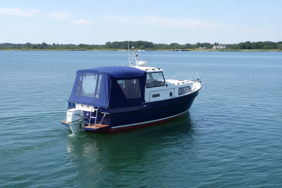
On the freshwater side, the Welland is an inland river navigation through the town and surrounding fenland. Below Fulney, current and tide become central to the passage. A cover should never be allowed to reduce visibility or interfere with access during lock approaches. A canopy that can be secured rapidly is practical; a loose sheet is not a substitute for passage preparation.
Through South Holland to the Wash
The Environment Agency describes the Welland flowing east through Crowland and Spalding into the Wash at Fosdyke Bridge. Fosdyke is therefore part of the wider route, but it is not an ordinary extension of a calm town cruise. The transition downstream brings tidal constraints, and the authority’s guidance treats tidal navigation as a matter for properly prepared and experienced boaters.
The Inland Waterways Association records approximately 36 kilometres of navigable River Welland and notes one lock, Fulney, with the river tidal below it. Those figures help frame the route without pretending every reach has the same character. Owners should consult live notices, weather, river levels and tide information before committing to the lower section.
Fenland water levels are not static
The Environment Agency warns that water levels on the Welland and Glen may change after rainfall. Bridge headroom figures published for the system are approximate and measured from a standard water level. They are not a guarantee for a particular day. Approach every bridge with the actual river condition in mind, and check that the boat, canopy and any raised equipment have adequate clearance.
This is especially relevant to cover design. A high frame, folded pram hood or unsecured boom can change the effective air draught. Covers should fold or stow in a predictable way, with no poles left standing when clearance is tight. Our boat-cover service can discuss the practical relationship between a canopy, rails and the boat’s measured profile.
Speed, bridges and crew discipline
There is a general speed limit of 7 miles per hour on the Welland and Glen, according to the Environment Agency. Speed must still suit the reach, other river users, bank condition and local signage. Wash can damage banks and disturb moored craft, while a river that looks broad can conceal awkward approaches near structures.
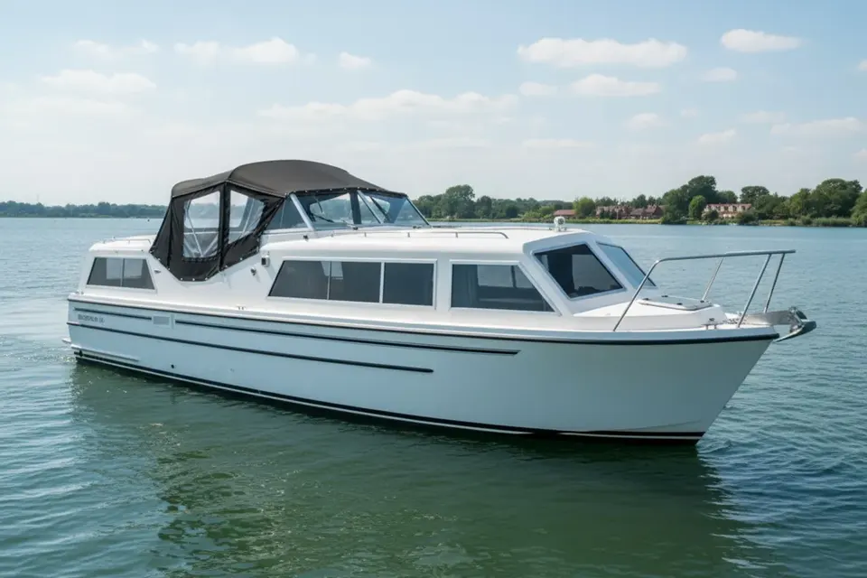
The authority lists bridge headways including Crowland Bridge at approximately 2.27 metres and several lower structures elsewhere in the system. These are not Spalding-specific clearance promises, and levels fluctuate. Crew should know the boat’s height with its normal equipment, lower what can be lowered, and never rely on a marketing description of a “standard” cruiser.
The lower reach is not for casual experimentation
Below Fulney, the tidal Welland leads toward Fosdyke and the Wash. The Environment Agency says only experienced sailors and boaters should go through Surfleet Sluice into the Wash; that warning belongs in any conversation about the connected navigation. A boat suitable for a freshwater town reach may not be ready for open tidal water. Engine reliability, steering, charts, communications, lifejackets, crew competence and a properly timed departure matter more than a decorative cover.
The phrase “cross-border” needs care here. Spalding and the relevant Welland/Glen navigation are in Lincolnshire; they are not the same route as the Market Harborough Arm in Leicestershire. The regional Welland name does not erase the physical and navigational separation between the two waterways.
Materials for a fenland mooring
Fenland exposure can mean strong wind across open water, persistent damp and intense summer sun. A cover should be tensioned so it cannot flap, but ventilation must remain available to prevent condensation beneath it. Acrylic canvas can offer useful breathability and UV stability; coated fabrics may suit owners prioritising water resistance. Neither choice compensates for poor fit or blocked drainage. Read our fabric information alongside the boat’s actual mooring conditions.
For a replacement, the postal copy service may be useful when moving a boat to a workshop is inconvenient. Send a sound existing cover as a pattern, and check that any changes—new rails, altered wheelhouse or replacement hoops—are explained before copying.
A measured Spalding itinerary
Start with current Environment Agency information, the lock contact procedure and river conditions. Plan the freshwater trip around Fulney rather than treating the lock as an afterthought. If travelling downstream, make a separate tidal passage plan and be honest about experience. Check bridge clearance against live levels, respect the 7 mph limit, and keep covers clear of sightlines and working ropes.
Spalding rewards that disciplined approach. It is a place where navigation, flood management and fenland geography are visible in the same journey. The best boat cover is one that quietly supports that work: dry when moored, breathable in damp weather, quick to remove at Fulney, and never allowed to substitute for proper river seamanship.