Ramsey and the Middle Level: a boat owner's guide
Ramsey sits beside a landscape of drains, washes and low-lying farmland where navigation is inseparable from water management. For boat owners, the attraction is the sense of space and the chance to connect into the Middle Level system, but the route calls for more preparation than a standard canal holiday. Authority notices, water levels, structure operation and permitted stopping places deserve as much attention as the map. Ramsey is best approached as a working Fenland settlement and a planning point, not as a promise of waterside services that may not exist.
Ramsey Forty Foot and the Fenland grid
The name Ramsey Forty Foot refers to one of the principal drainage channels associated with the Middle Level landscape, while nearby Ramsey and Ramsey St Mary’s provide the human geography behind the route. Straight banks and distant horizons can make distances deceptive. Hold a steady, modest speed and minimise wash, especially where banks protect agricultural land. Before travelling, establish which stretches are currently navigable and what permission or operating arrangements apply. Historic association with water does not automatically mean that every drain is a public cruising waterway today.
A working navigation beside a town
Ramsey’s water environment serves land drainage first. That explains the absence of the familiar canal rhythm of lock after lock, towpath facilities and frequent visitor moorings. A boat owner should carry sufficient essentials and avoid relying on an unverified list of water, waste or fuel points. Plan an arrival during daylight, identify legal mooring options, and leave room for maintenance access. The quieter setting is an advantage for observation, but it also means that self-sufficiency and a reliable communications plan matter.
Finding the right Middle Level connection
The Middle Level links eastern navigations, including routes toward the Nene and Great Ouse, yet each connection has its own restrictions. A Ramsey itinerary should name every waterway, structure and final tidal interface rather than saying simply “across the Fens.” Compare the boat’s draught, beam and air draught with the latest authority information. If a passage depends on a booked or operated structure, confirm it before departure. Never infer opening status from an old cruising guide or a gate that happens to look usable.
Structure work and crew roles
Fenland structures can feel more industrial than picturesque. Prepare lines, fenders and a boat hook before arrival, brief the crew on pinch points and keep hands clear of gates and culverts. On broad water, windage can move a boat sideways while the helm appears stationary, so use small corrections rather than large bursts of power. Covers should be rolled and secured before close-quarters work. A tidy deck is not cosmetic here: it gives the crew space to react when the level or wind changes.
Ramsey’s landscape is part of the route
The open country around Ramsey rewards slow travel. Reeds, fields, pumping infrastructure and long views reveal why the network exists, while the town offers a land-based change of pace. Keep access tracks and maintenance compounds clear, and do not trespass onto private banks in search of a landing. Wildlife and drainage operations can occupy the same narrow corridor. Photographing a sluice is fine; treating its service channel as a shortcut without confirmation is not.
Weather, exposure and boat care
A high-sided boat has little shelter on an open Fenland reach. Crosswinds complicate turning and coming alongside, while rain can erase the visual cues that make a straight channel easy to read. UV also works steadily on fabric, paint and sealants. Check cover tension after windy weather, leave ventilation where the design allows it, and remove trapped leaves or standing water. In cold spells, allow for ice and sluggish fittings rather than forcing zips, clips or folded canvas.
A practical Ramsey itinerary
Use Ramsey as a staging point for a measured trip. A local reconnaissance can confirm handling, depth response and crew routines before a longer connection. Carry current charts, spare line, a torch and enough food and water for delays. Tell a shore contact the intended return time, particularly where mobile signal may be variable. Moor only under the relevant local rules and avoid blocking a landing used by maintenance crews. The best itinerary is one with room to wait.
Cover design for frequent handling
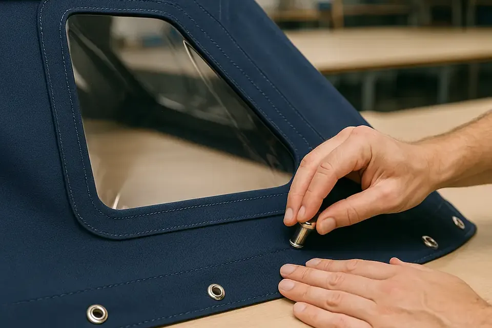
A boat moving through the Middle Level needs a cover that can be removed without a wrestling match. A well-made cockpit cover or pram hood should clear the helm, fold predictably and keep fasteners accessible. A bow cover can protect ropes and equipment between trips, but it must not obscure navigation lights or interfere with crew movement. When replacing an old cover, record where rails, poles and snaps sit. A faithful pattern is valuable, provided the old arrangement is still safe and practical.
The responsible way through the Fens
Ramsey’s boating appeal is its honesty: the waterway is infrastructure, habitat and navigation at once. Check current information, respect signs, keep wash down and do not improvise around a closed structure. That approach protects banks and makes life easier for the people who manage them. Owners who accept the network’s working character will find a route with unusual quietness, broad skies and a direct connection to the engineering that keeps the Fenland landscape habitable.
At Ramsey, preparation is part of the experience: confirm the permitted route, carry essentials and let the drainage network set the pace.
For cover work between passages, see the postal copy service, our marine fabrics notes and the wider boat cover services.